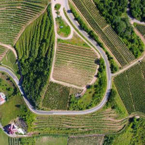
Aerial images can provide useful insights into how land and waterways change over time. To be able to compare images from different sources and time periods, georeferencing (identifying the exact latitude and longitude) is required. This time-consuming task can currently only be done by trained human analysts. Master’s students Collin Giguere and Sowmya Vasuki Jallepalli developed an image-processing system to automatically georeference historical images.