EcoAssess
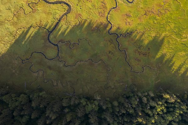
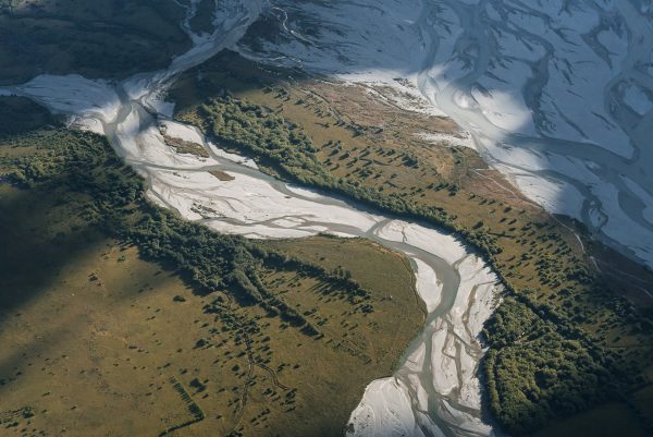
A web app that provides stakeholders with a way to view ecological integrity and regional ecosystem-based connectivity on an interactive map. EcoAssess is part of the UMass Designing Sustainable Landscapes (DSL) project.
Conservation Assessment and Prioritization System (CAPS)
The Conservation Assessment and Prioritization System (CAPS) is a software and methodology that evaluates and maps ecological integrity to prioritize land for conservation and guide habitat management decisions.
Avian Influenza
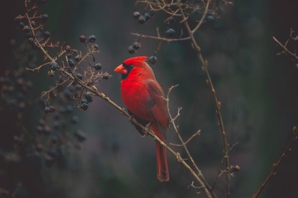
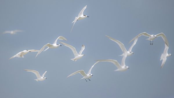
The Avian Influenza project provides a web application that displays bird movement and abundance data to help poultry producers predict and mitigate Avian Flu risk.
BirdFlow Science
A joint project between UMass and the Cornell Ornithology Lab to model bird movement from eBird Status and Trends weekly bird distribution data, allowing scientists to predict changes in bird distributions and generate potential routes.

Designing Sustainable Landscapes
The UMass Designing Sustainable Landscapes (DSL) project guides habitat conservation across the Northeastern United States by assessing ecological integrity, connectivity, and habitat suitability for focal species under current and future environmental conditions.

iNaturalist GeoModel Annotation Tool
The DS4CG team collaborated with iNaturalist to enhance geomodels that predict species’ geographic ranges, making them more accessible for biologists, ecologists, and citizen scientists.