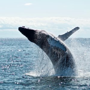
When whales are encountered near the surface of the ocean, it’s useful to be able to quickly assess their health for conservation and evaluation purposes. As part of our Data Science for the Common Good program, Master’s students Chhandak Bagchi and Gizem Cicekli developed a tool for identifying a whale from an aerial image.
The tool automatically marks its head and tail and estimates its size, which will provide critical data to scientists looking to preserve the increasingly endangered whale populations across the world. With support from the Aarhus Institute of Advanced Studies, our colleagues in the UMass Amherst Biology department, and the Woods Hole Oceanographic Institution, our software is now in the hands of researchers and ready for deployment on marine research vessels.