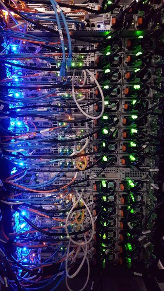
Generating Metrics for High-Performance Computing Clusters
Partner: Unity DS4CG 2023. Unity is a collaborative, multi-institutional high-performance computing cluster, primarily used for research computing. The Unity project focused on generating useful metrics
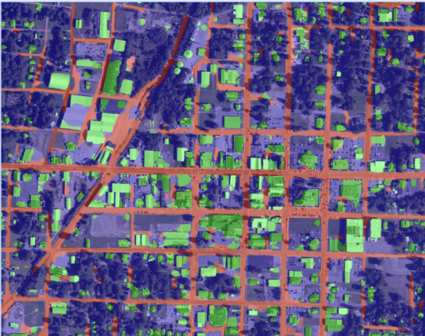
Red Cross: Satellite Imagery for Disaster Assessment
Leverage modern machine learning and AI techniques to rapidly analyze the before and after satellite images of affected areas to assess damage.
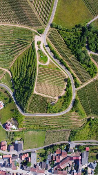
Georeferencing of Historical Imagery
Aerial images can provide useful insights into how land and waterways change over time. To be able to compare images from different sources and time periods, georeferencing (identifying the exact latitude and longitude) is required.